
ၾၢႆႇ:China Yunnan location map.svg

ၾၢႆႇငဝ်ႈတိုၼ်း (ၾၢႆႇ SVG, ၸိုဝ်ႈ 1,318 × 1,325 pixels, သႅၼ်းၾၢႆႇ : 330 KB)
ႁူဝ်ႁုပ်ႈ
| ၶေႃႈသပ်းလႅင်း |
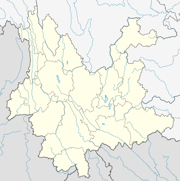
Quadratische Plattkarte, N-S-Streckung 110 %. Geographische Begrenzung der Karte:
Equirectangular projection, N/S stretching 110 %. Geographic limits of the map:
|
|
| ဝၼ်းထီႉ | ||
| ငိူၼ်ႈငဝ်ႈတိုၼ်း |
ၵၢၼ်ၶွင်တူဝ်, using
|
|
| ၽူႈတႅမ်ႈလိၵ်ႈ | NordNordWest | |
| ၶေႃႈလူတ်းပွႆႇ (ၶိုၼ်းၸႂ်ႉ ၾၢႆႇဢၼ်ၼႆႉ) |
This file is licensed under the Creative Commons Attribution-Share Alike 3.0 Germany license.
 This file is licensed under the Creative Commons Attribution-Share Alike 3.0 Germany license.
|


|
This map has been made or improved in the German Kartenwerkstatt (Map Lab). You can propose maps to improve as well.
|
ပိုၼ်းၾၢႆႇ
တဵၵ်းၼိူဝ် ဝၼ်းထိ/ၶၢဝ်းယၢမ်း တႃႇႁၼ်ၾၢႆႇ ၼႂ်းဝၼ်းၼၼ်ႉ
| ဝၼ်းထီႉ/ၶၢဝ်းယၢမ်း | ႁၢင်ႈလဵၵ်ႉ | သႅၼ်းမၼ်း | ၽူႈၸႂ်ႉတိုဝ်း | တၢင်းႁၼ်ထိုင် | |
|---|---|---|---|---|---|
| ယၢမ်းလဵဝ် | 18:16, 15 မၢတ်ႉၶျ် 2010 | | 1,318 × 1,325 (330 KB) | NordNordWest | =={{int:filedesc}}== {{Information |Description= {{de|Positionskarte von Yunnan, Volksrepublik China}} Quadratische Plattkarte, N-S-Streckung 110 %. Geographische Begrenzung der Karte: * N: 29.5° N * S: 21.0° |
လွင်ႈၸႂ်ႉတိုဝ်း ၾၢႆႇ
ၼႃႈလိၵ်ႈ ၵွင်ႉမႃးၸူးၾၢႆႇၼႆႉ:
လွင်ႈၸႂ်ႉတိုဝ်းၾၢႆႇလူမ်ႈၽႃႉ
Wikis ၸိူဝ်းဢၼ်ၸႂ်ႉဝႆႉ ၾၢႆႇဢၼ်ၼႆႉ:
- ၸႂ်ႉဝႆႉ ar.wikipedia.org
- ၸႂ်ႉဝႆႉ ast.wikipedia.org
- ၸႂ်ႉဝႆႉ ba.wikipedia.org
- ၸႂ်ႉဝႆႉ bg.wikipedia.org
- ၸႂ်ႉဝႆႉ bn.wikipedia.org
- ၸႂ်ႉဝႆႉ ceb.wikipedia.org
- ၸႂ်ႉဝႆႉ cs.wikipedia.org
- ၸႂ်ႉဝႆႉ de.wikipedia.org
- Yulong Xueshan
- Xingyun-See
- Manwan-Talsperre
- Jinlong-Brücke
- Wasserkraftwerk Shilongba
- Fuxian Hu
- Chenghai (See)
- Diancang Shan
- Wikipedia:Kartenwerkstatt/Positionskarten/Asien
- Dian Chi
- Vorlage:Positionskarte China Yunnan
- Bamei-Tal
- Wumeng Shan
- Er Hai
- Jinanqiao-Talsperre
- Nuozhadu-Talsperre
- Ailao Shan
- Yun Ling
- Nu Shan
- Gaoligong Shan
- Jizu Shan
- Wuliang Shan
- Tigersprung-Schlucht
- Ahai-Talsperre
- Daxue Shan (Yunnan)
- Pulibrücke
- Jinshajiang-Brücke-Jin'an
- Jinshajiang-Brücke-Hutiaoxia
- ၸႂ်ႉဝႆႉ en.wikipedia.org
တူၺ်း ၾၢႆႇmore global usage ဢၼ်ၼႆႉ