
ၾၢႆႇ:Singapore location map (main island).svg

Size of this PNG preview of this SVG file: 800 × 508 ၽိၵ်ႉသႄႇလ်. resolutionsတၢင်ႇဢၼ် : 320 × 203 ၽိၵ်ႉသႄႇလ် | 640 × 406 ၽိၵ်ႉသႄႇလ် | 1,024 × 650 ၽိၵ်ႉသႄႇလ် | 1,280 × 812 ၽိၵ်ႉသႄႇလ် | 2,560 × 1,625 ၽိၵ်ႉသႄႇလ် | 3,247 × 2,061 ၽိၵ်ႉသႄႇလ် ။
ၾၢႆႇငဝ်ႈတိုၼ်း (ၾၢႆႇ SVG, ၸိုဝ်ႈ 3,247 × 2,061 pixels, သႅၼ်းၾၢႆႇ : 309 KB)
.svg)
ႁူဝ်ႁုပ်ႈ
| ၶေႃႈသပ်းလႅင်း |
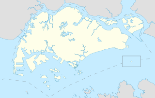
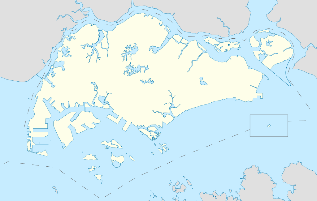
English: Locator Map for Singapore's main island, with Pedra Branca as an insert |
| ဝၼ်းထီႉ | |
| ငိူၼ်ႈငဝ်ႈတိုၼ်း | ၵၢၼ်ၶွင်တူဝ် |
| ၽူႈတႅမ်ႈလိၵ်ႈ | Seloloving |
ဝ်ႂ
I, the copyright holder of this work, hereby publish it under the following license:
This file is licensed under the Creative Commons Attribution-Share Alike 4.0 International license.
- ၸဝ်ႈၵဝ်ႇထၢင်ႇႁၢင်ႈ
- တႃႇၽႄၸႂ်ႉ – တွၼ်ႈတႃႇထုတ်ႇဢဝ်၊ ပိုၼ်ၽႄႈ လႄႈ ပိုၼ်ဢွၵ်ႇပၼ် ၼႃႈၵၢၼ်။
- ၶိုၼ်းထႅမ်သႂ်ႇ – မႄးထွင်ၵၢၼ် ႁႂ်ႈသၢင်ႇထုၵ်ႇ
- ၸွမ်းၼင်ႇ သၢႆႇငၢႆတီႈတႂ်ႈၼႆႉ
- ႁၢင်ႈၽၢင်ၶဝ်ႈပႃး – ၸဝ်ႈၵဝ်ႇတေလႆႈမွၵ်ႇပၼ်ၸိုဝ်ႈ ဢၼ်သၢင်ႇထုၵ်ႇ တွၼ်ႈတႃႇ ႁဵင်းၵွင်ႉ ဢၼ်ၵမ်ႉထႅမ်ပၼ် ဝႂ်ၶႂၢင်း လႄႈ သင်ၸိူဝ်ႉဝႃႈ လႆႈမီးလွင်ႈလႅၵ်ႈလၢႆႈမႃးၼႆ ၶႅၼ်းတေႃႈ ၸီႉၼႄပၼ်သေၵမ်း။ ၸဝ်ႈၵဝ်ထုၵ်ႇလီႁဵတ်း ႁႂ်ႈပဵၼ်တၢင်းႁဵတ်းသၢင်ႈ မီးလွင်ႈမီးတၢင်းမၼ်း၊ ၵူၺ်းၵႃႈဝႃႈ မၼ်းဢမ်ႇမၢႆထိုင်ဝႃႈ ဝႂ်ၶႂၢင်းၼၼ်ႉ မၼ်းတေပဵၼ် ဢၼ်ၸွႆႈဢၼ်ၵမ်ႉထႅမ်ပၼ် ၸဝ်ႈၵဝ်ႇ ဢမ်ႇၼၼ် ဢၼ်ၸဝ်ႈၵဝ်ႇၸႂ်ႉဝႆႉၼၼ်ႉ။
- သျေး ဢၼ်မိူၼ် – သင်ၸိူဝ်ႉဝႃႈ ၸဝ်ႈၵဝ်ႇ ၶိုၼ်းလေႃး၊ လႅၵ်ႈလၢႆႈ၊ မႄးၶိုၼ်း ဢမ်ႇၼၼ် ၵေႃႇသၢင်ႈ ၵႃႈတီႈၼိူဝ် ၼႃႈၵၢၼ်ၼႆႉၸိုင်၊ ၸဝ်ႈၵဝ်ႇ တေလႆႈဢဝ် လွင်ႈၸွႆႈသၢင်ႈၸဝ်ႈၵဝ်ႇၼႆႉ ပိုၼ်ၽႄႈ ၽၢႆႇတႂ်ႈ မိူၼ်ၼင်ႇ ဢမ်ႇၼၼ် ဝႂ်ငမ်ႇမႅၼ်ႈ ၼင်ႇ ငဝ်ႈတိုၼ်းမၼ်းၼၼ်ႉယဝ်ႉ။
ပိုၼ်းၾၢႆႇ
တဵၵ်းၼိူဝ် ဝၼ်းထိ/ၶၢဝ်းယၢမ်း တႃႇႁၼ်ၾၢႆႇ ၼႂ်းဝၼ်းၼၼ်ႉ
| ဝၼ်းထီႉ/ၶၢဝ်းယၢမ်း | ႁၢင်ႈလဵၵ်ႉ | သႅၼ်းမၼ်း | ၽူႈၸႂ်ႉတိုဝ်း | တၢင်းႁၼ်ထိုင် | |
|---|---|---|---|---|---|
| ယၢမ်းလဵဝ် | 11:16, 14 ၸုၼ်ႇ 2020 | | 3,247 × 2,061 (309 KB) | Seloloving | added maritime borders |
| 09:36, 13 ၸုၼ်ႇ 2020 |  | 3,247 × 2,061 (310 KB) | Seloloving | full extent of singapore and claimed waters | |
| 18:36, 10 ၸုၼ်ႇ 2020 |  | 2,959 × 1,949 (224 KB) | Seloloving | Uploaded own work with UploadWizard |
လွင်ႈၸႂ်ႉတိုဝ်း ၾၢႆႇ
ဢမ်ႇမီးၼႃႈလိၵ်ႈဢၼ်ၵွင်ႉၸူး ၾၢႆႇဢၼ်ၼႆႉ
လွင်ႈၸႂ်ႉတိုဝ်းၾၢႆႇလူမ်ႈၽႃႉ
Wikis ၸိူဝ်းဢၼ်ၸႂ်ႉဝႆႉ ၾၢႆႇဢၼ်ၼႆႉ:
- ၸႂ်ႉဝႆႉ bcl.wikipedia.org
- ၸႂ်ႉဝႆႉ en.wikipedia.org
- Jurong
- Jurong Island
- Pulau Tekong
- Changi
- Changi Naval Base
- Ang Mo Kio
- Changi Prison
- Sembawang
- Pulau Ubin
- Paya Lebar Air Base
- Geylang
- Sakya Muni Buddha Gaya Temple
- Punggol
- Woodlands, Singapore
- Marine Parade
- Clementi, Singapore
- Pasir Ris
- Orchard Road
- Kallang
- Choa Chu Kang
- Paya Lebar
- Republic of Singapore Navy
- Singapore Army
- Tampines
- Bukit Timah
- Yishun
- Marsiling
- Serangoon
- Bishan, Singapore
- Lim Chu Kang
- Bukit Batok
- Bukit Panjang
- Hougang
- Queenstown, Singapore
- Toa Payoh
- Tuas
- Former National Stadium, Singapore
- 1984 AFC Asian Cup
- Bedok
- Kong Meng San Phor Kark See Monastery
- Seletar
- Pulau Brani
- Kusu Island
- Sisters' Islands
- Pulau Hantu
တူၺ်း ၾၢႆႇmore global usage ဢၼ်ၼႆႉ
.svg)
.svg)