
ၾၢႆႇ:Japan bluemarble location map with side map of the Ryukyu Islands.jpg
သႅၼ်းတႃႇတူၺ်းလူင်ႈၼႃႈ: 664 × 600 ၽိၵ်ႉသႄႇလ်. resolutionsတၢင်ႇဢၼ် : 266 × 240 ၽိၵ်ႉသႄႇလ် | 531 × 480 ၽိၵ်ႉသႄႇလ် | 850 × 768 ၽိၵ်ႉသႄႇလ် | 1,133 × 1,024 ၽိၵ်ႉသႄႇလ် | 2,497 × 2,256 ၽိၵ်ႉသႄႇလ် ။
ၾၢႆႇငဝ်ႈတိုၼ်း (2,497 × 2,256 pixels, တၢင်းလဵၵ်ႉတၢင်းယႂ်ႇ ၾၢႆႇ: 1.38 MB, ယိူင်ႈ MIME: image/jpeg)
ႁူဝ်ႁုပ်ႈ
| ၶေႃႈသပ်းလႅင်း |
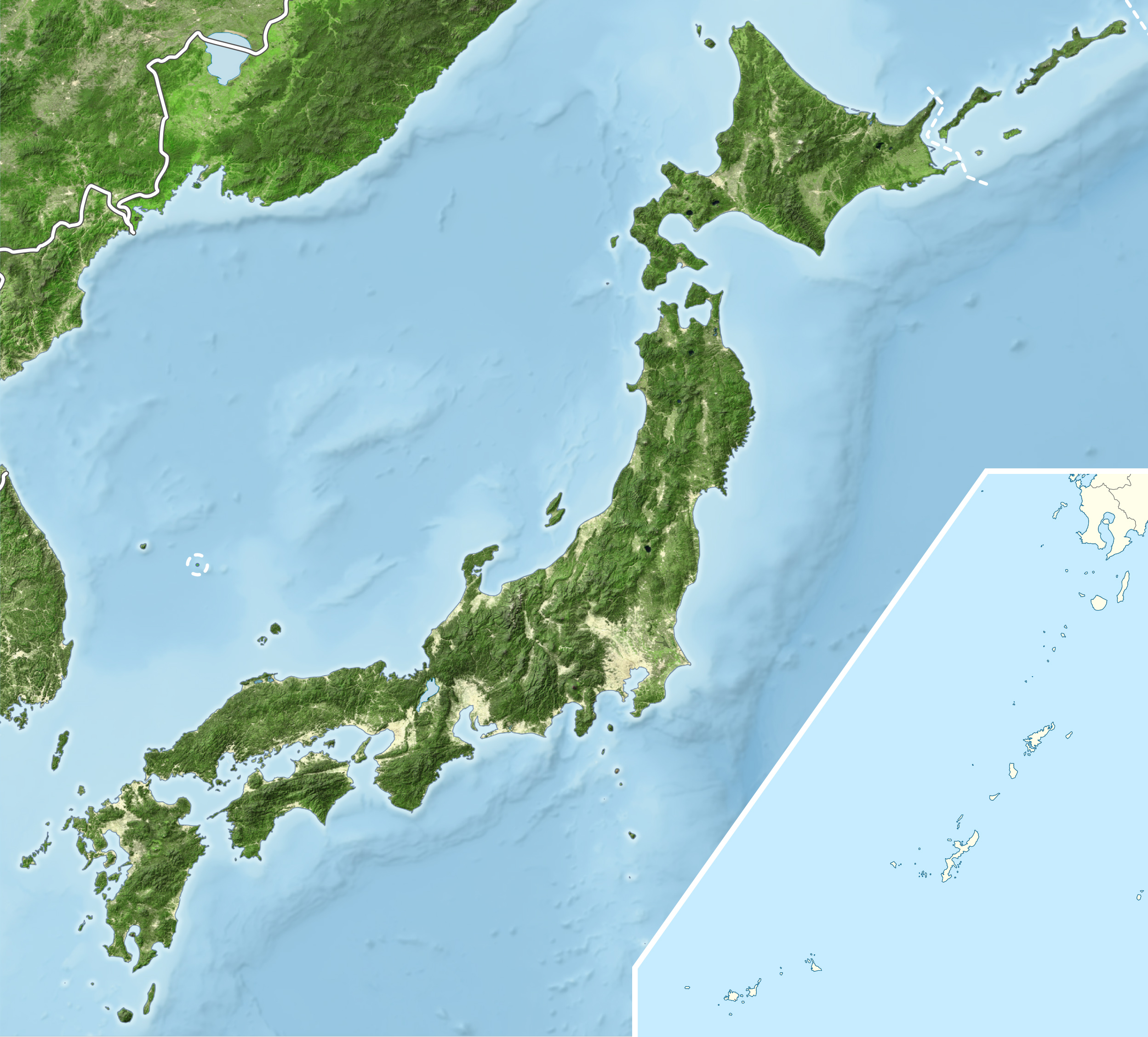
English: Blue Marble Location map of Japan
Equirectangular projection. Geographic limits to locate objects in the main map with the main islands:
Geographic limits to locate objects in the side map with the Ryukyu Islands:
|
||
| ဝၼ်းထီႉ | |||
| ငိူၼ်ႈငဝ်ႈတိုၼ်း |
|
||
| ၽူႈတႅမ်ႈလိၵ်ႈ | Alexrk2 | ||
| ၶေႃႈလူတ်းပွႆႇ (ၶိုၼ်းၸႂ်ႉ ၾၢႆႇဢၼ်ၼႆႉ) |
ၾၢႆႇဢၼ်ၼႆႉၼႆႉ မီးသုၼ်ႇဝႂ် ပႃႈတႂ်ႈ ၶွင် Creative Commons Attribution-Share Alike 3.0 Unported ဝႆႉၼႆႉ။
|
||
| Other versions |
|


ပိုၼ်းၾၢႆႇ
တဵၵ်းၼိူဝ် ဝၼ်းထိ/ၶၢဝ်းယၢမ်း တႃႇႁၼ်ၾၢႆႇ ၼႂ်းဝၼ်းၼၼ်ႉ
| ဝၼ်းထီႉ/ၶၢဝ်းယၢမ်း | ႁၢင်ႈလဵၵ်ႉ | သႅၼ်းမၼ်း | ၽူႈၸႂ်ႉတိုဝ်း | တၢင်းႁၼ်ထိုင် | |
|---|---|---|---|---|---|
| ယၢမ်းလဵဝ် | 19:55, 22 မၢတ်ႉၶျ် 2011 | | 2,497 × 2,256 (1.38 MB) | Alexrk2 | RGB |
| 19:07, 22 မၢတ်ႉၶျ် 2011 |  | 2,497 × 2,256 (878 KB) | Chumwa | RGB mode | |
| 21:57, 21 မၢတ်ႉၶျ် 2011 |  | 2,497 × 2,256 (1.88 MB) | Alexrk2 | jpg quality | |
| 21:05, 21 မၢတ်ႉၶျ် 2011 |  | 2,497 × 2,256 (1.82 MB) | Alexrk2 | == {{int:filedesc}} == {{Information |Description= {{en|Blue Marble Location map of Japan Equirectangular projection. Geographic limits to locate objects in the main map with the main islands: * N: 45°51'37" N (45.86°N) * S: 30°01'13" N |
လွင်ႈၸႂ်ႉတိုဝ်း ၾၢႆႇ
ၼႃႈလိၵ်ႈ ၵွင်ႉမႃးၸူးၾၢႆႇၼႆႉ:
လွင်ႈၸႂ်ႉတိုဝ်းၾၢႆႇလူမ်ႈၽႃႉ
Wikis ၸိူဝ်းဢၼ်ၸႂ်ႉဝႆႉ ၾၢႆႇဢၼ်ၼႆႉ:
- ၸႂ်ႉဝႆႉ ace.wikipedia.org
- ၸႂ်ႉဝႆႉ ar.wikipedia.org
- ၸႂ်ႉဝႆႉ arz.wikipedia.org
- ၸႂ်ႉဝႆႉ ast.wikipedia.org
- ၸႂ်ႉဝႆႉ as.wikipedia.org
- ၸႂ်ႉဝႆႉ azb.wikipedia.org
- ၸႂ်ႉဝႆႉ ban.wikipedia.org
- ၸႂ်ႉဝႆႉ bcl.wikipedia.org
- ၸႂ်ႉဝႆႉ bh.wikipedia.org
- ၸႂ်ႉဝႆႉ bn.wikipedia.org
- ၸႂ်ႉဝႆႉ br.wikipedia.org
- ၸႂ်ႉဝႆႉ bs.wikipedia.org
- ၸႂ်ႉဝႆႉ ca.wikipedia.org
- ၸႂ်ႉဝႆႉ ceb.wikipedia.org
- ၸႂ်ႉဝႆႉ ckb.wikipedia.org
- ၸႂ်ႉဝႆႉ cs.wikipedia.org
- ၸႂ်ႉဝႆႉ da.wikipedia.org
- ၸႂ်ႉဝႆႉ de.wikipedia.org
- ၸႂ်ႉဝႆႉ diq.wikipedia.org
- ၸႂ်ႉဝႆႉ dty.wikipedia.org
တူၺ်း ၾၢႆႇmore global usage ဢၼ်ၼႆႉ