
ၵျုၼ်းၸု၊ ဝဵင်း
| ဝဵင်းၵျုၼ်းၸု | |
|---|---|
| ဝဵင်းၸိူဝ်းမီးၼႂ်း မိူင်းမျၢၼ်ႇမႃႇ | |
.jpg) | |
| Lua error in မေႃႇၵျူး:Location_map at line 522: Unable to find the specified location map definition: "Module:Location map/data/Burma Mergui Archipelago" does not exist.ႁၢင်ႈၽႅၼ်ႇလိၼ်မျဵၵ်ႉၵျုၼ်းၸု ၼႄဢွင်ႈတီႈဝဵင်း | |
| ၵူဝ်ႇဢေႃးတိၼဵတ်ႉ: 11°48′6″N 98°31′32″E / 11.80167°N 98.52556°Eၵူဝ်ႇဢေႃးတိၼဵတ်ႉ: 11°48′6″N 98°31′32″E / 11.80167°N 98.52556°E | |
| မိူင်း |
|
| ၸႄႈတိူင်း |
|
| ၸႄႈတွၼ်ႈ | ၸႄႈတွၼ်ႈမျဵၵ်ႉ |
| ၸႄႈဝဵင်း | ၸႄႈဝဵင်းၵျုၼ်းၸု |
| ဝဵင်းပၵ်းလုမ်းၸႄႈဝဵင်း | ဝဵင်းၵျုၼ်းၸု |
| ႁူဝ်ၼမ်ၵူၼ်း | |
| • ႁုပ်ႈ | 5,548[1] |
| ၶၢဝ်းယၢမ်း ၼႃႈလိၼ် | MST (UTC+6:30) |
ဝဵင်းၵျုၼ်းၸု ဢမ်ႇၼၼ် ဝဵင်းၵၢၼ်းမေႃႇ (မၢၼ်ႈ: ကျွန်းစုမြို့ ; ဢိင်းၵလဵတ်ႈ: Kyunsu)[2] ၼႆႉ ပဵၼ်ဝဵင်းဢွၼ်ႇဝဵင်းၼိုင်ႈ ဢၼ်မီး တီႈ မျဵၵ်ႉၵျုၼ်းၸု ပွတ်းၸၢၼ်းမိူင်းမၢၼ်ႈၼၼ်ႉယဝ်ႉ။ ပဵၼ်ဝဵင်းပၵ်းလုမ်း ၸႄႈဝဵင်းၵျုၼ်းၸု၊ ၸႄႈတွၼ်ႈမျဵၵ်ႉ၊ ၸႄႈတိူင်းတၼိၼ်းတႃႇယီႇၼၼ်ႉယဝ်ႉ။[3] မီးဝႆႉ တီႈၼိူဝ်ၽင်ႇပၢင်ႇလၢႆႇ ၸဵင်ႇႁွင်ႇဝၼ်းဢွၵ်ႇ ၵုၼ်ၵၢၼ်းမေႃႇ၊ တီႈ ၸဵင်ႇၸၢၼ်းဝၼ်းတူၵ်း ဝဵင်းမျဵၵ်ႉၼၼ်ႉယဝ်ႉ။[4]
ၽိုၼ်ဢိင်
[မႄးထတ်း | မႄးထတ်းငဝ်ႈငႃႇ]- ↑ (မေႇ 2015) ၽိုၼ်လိၵ်ႈသဵၼ်ႈမၢႆႁူဝ်ႁိူၼ်း, ၽိုၼ်လိၵ်ႈ သဵၼ်ႈမၢႆႁူဝ်ႁိူၼ်း လႄႈ ႁူဝ်ၼပ်ႉၵူၼ်း ပီ 2014 သွႆ့-2. ၼေႇပျီႇတေႃႇ: ထၢၼ်ၽွင်းလူင် ၵၢၼ်ႁႅင်းငၢၼ်း၊ ၵၢၼ်ၵူတ်ႇထတ်း ၵူၼ်းၶဝ်ႈဢွၵ်ႇမိူင်း လႄႈ ၵၢၼ်ႁူဝ်ၼပ်ႉၵူၼ်းမိူင်း, 54.
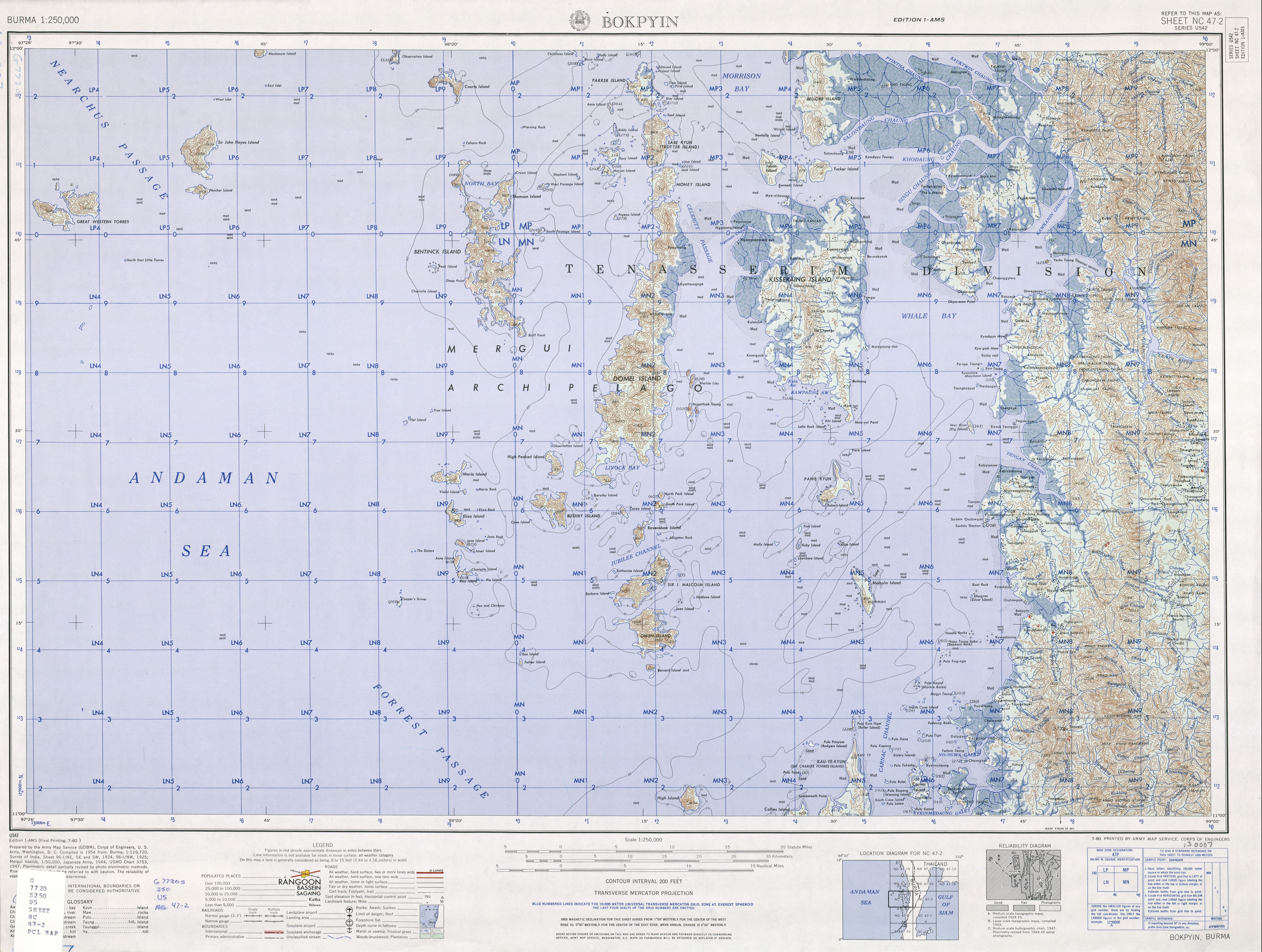
- ↑ "Burma 1:250,000 topographic map, Series U542, Bokpyin NC 47-2" U.S. Army Map Service, July 1960
- ↑ Südostasien Aktuell (Journal of current southeast Asian affairs) volume 18 page 199, in German
- ↑ Google. Google Maps. Retrieved November 13, 2010.
| |||||||||||||||||||||||||

| ||||||||||||||||||||||||